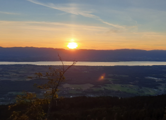
What to see along the way: Alpine pastures, forest and ruins, viewpoints, Crêtes and Signal des Voirons.
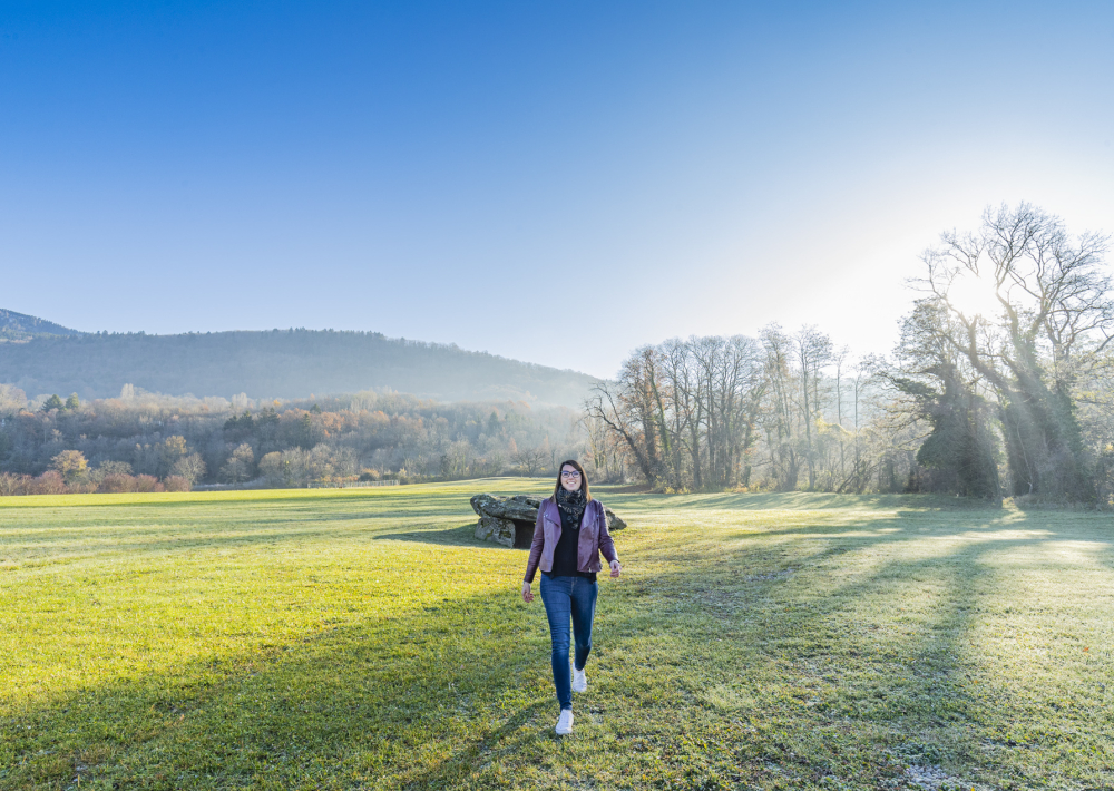
Local sights: Dolmen, Monastère de la Transfiguration, the shores of Lake Geneva; Chapelle N.-D. des Voirons, Tour de Langin (private property).
Guidebook with maps/step-by-step
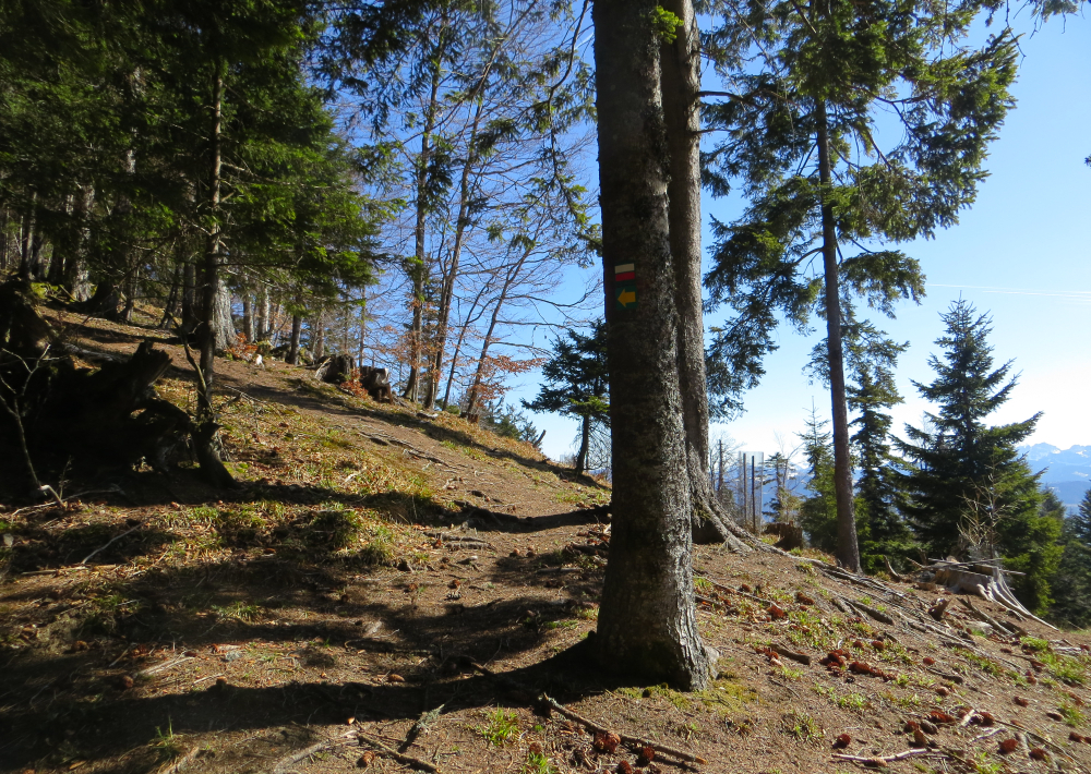
Departure point: From the parking lot near the dolmen, cross the torrent (Chandouze) to the left, then climb the left bank, enter the woods and leave the path on the right to reach the Chandouze ford (footbridge). 1/ Cross to the other side of the river, then turn right twice, the slope becomes gentler and makes a large loop, the path widens. Leave the track on the right and, after a steep slope, go right up an old castle. The path skirts a meadow and reaches a road leading to Champ de France (intermediate parking lot). 2/ From the parking lot, turn left towards Le Fieu, after the last house (from the intermediate parking lot, count 540 m of ascent). 3/ Turn right, the path crosses the forest road twice. 4/ Go straight ahead, past the ruins (Les Dades) and cross another forest road to reach the Col du Pieuré. 5/ We are now on the Crêtes des Voirons and the GR Balcon du Léman. (If you turn right, you'll reach Pointe de Brantaz rep 7). Go left on the GR to pass Saut de la Pucelle, then go past junction 8 to junction 9. 6/ Signal des Voirons (1480 m) return at 8 and take the "Machilly au Signal" path downhill, after Servette, at the forest track leave the path and take the forest road to the left, ignoring a track to the left and another to the right to find yourself at 5 on the uphill path, descend to the right to reach the parking lot (either 3 or 1).
Ouverture
All year round.
Tarifs
Free access.
Contact et accès Route des Vouards 74140 Saint-Cergues Haute-Savoie (74)