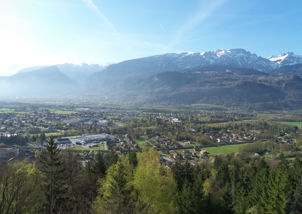
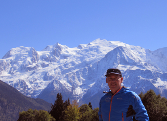
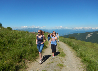
A loop on the southern slopes of the Môle, discover the hamlets of Ossat, Chéneys and Eponnet. At the top, a breathtaking view on the whole Arve valley, the Aravis mountains, the Glières plateau, and... The Mont Blanc! A variety of landscapes and interesting atmospheres, between forest, villages and pastures.
Guidebook with maps/step-by-step
1/ From the parking of the town hall of Marignier, join the dykes of the Giffre that you follow until the Vieux Pont. 2/ Take the road of Capins which becomes a dirt road after the bends. 3/ At the marker, take the path towards Ossat. Go up the lane in the middle of the hamlet up to the cross of Ossat and take the street on your left. At the cross of Martelet, take the right branch of the crow's feet. 4/ You take a path in balcony on 500m in the middle of a southern type of vegetation and arrive at the crossroads of Darelles. 5/ Then take the direction of Chéney which crosses a beech forest in balcony on 600m and find the old road of Cheney. Pass in front of the oratory, then the crossroads of Ripensé by taking straight ahead, arrive at the hamlet of Cheney and pass in front of the old road. 6/ At the crow's feet, take the left fork to continue to go up, pass the hairpin and arrive 300m farther at the oratory of Eponnet. Go up the hairpin by the small path which leads you to the heart of the hamlet of Eponnet. 7/ Go up the steep alley until the water tank and turn left to find the meadows of Martinet, which offers a superb panorama on the valley and the massifs of Bargy and Aravis. You are now in the commune of Ayze. 8/ For the return, go back to the reservoir, follow the track on the left in the middle of the meadows. The path becomes forest and goes up for 200m before going on a balcony until the crossing of Pecheux. 9/ Turn right and go straight down to Marignier. Be careful, this descent is slippery in wet weather.
Tips
The Faucigny-Glières Tourist Office has a range of other hiking itineraries available, suitable for all ages and levels!
Ouverture
From 01/04 to 31/10.
Tarifs
Free access.
Contact et accès Mairie de Marignier 74970 Marignier Haute-Savoie (74)
Acceptés : Attention, les chiens doivent être obligatoirement tenus en laisse en raison de la présence de troupeaux ainsi que pour la protection de la faune et la flore de nos montagnes.