Les balcons de Valloire
Valloire
To activate geolocation, click on the map icon.
TipsYour security:
- Keep in mind that you are riding in mountain areas with sometimes technical trails, significant elevation where weather conditions can change quickly.
- Don't overestimate your abilities
- Check the local weather forecast before leaving / www.meteofrance.com / tel: 3250
- Anticipate and adapt your clothing according to the sectors traveled and provide a survival blanket, windbreaker and whistle.
- If you are going alone, leave information about your itinerary with those around you and make sure you have a charged mobile phone.
- Always provide a reserve of water.
- Stay on the marked paths.
- Be careful of electric fences.
- During hunting season (September to January) and near big game hunts, show your presence.
- Help: in case of emergency contact 112
Your environment:
- Respect private property.
- Do not light a fire.
- Keep your waste and bring it back.
- Respect fruit production and do not cross cultivated fields.
- Do not frighten the cattle.
- Close the park barriers after your visit.
- Respect the direction of the routes.
- Be careful and courteous when overtaking and crossing hikers.
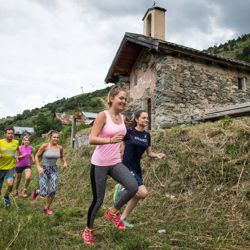
Departure - From the tourist office, walk past Place de la Mairie up Rue de la Sétaz. 1 - Cross the Ponté bridge and take the path up towards Archaz. 2 - Continue upwards past the hamlet of Archaz. 3 - At the junction of three paths, fork left to reach the Geneuil chapel, point rogerueil. 4 - At Geneuil, you'll pass a drinking-water fountain where you can quench your thirst. 5 - Continue up the path, past the Edelweiss restaurant, then follow the signs for Chapelle des Trois Croix (through the national forest). 6 - Once you've reached the chapel, turn left towards the hamlet of Col. 7 - You'll pass through the hamlets of Les Granges and Les Choseaux-Ville before returning to the Valloire Tourist Office. Variant possible up to the Telegraph Fort.
OuvertureFrom 20/04 to 01/11.
Subject to favorable snow and weather conditions.
Free access.
Contact et accès Office de Tourisme73450 Valloire
Savoie (73)
Informations complémentaires
Ça peut vous intéresser
Canyoning in Valloire

Skipass cash desks Valmeinier Village (1500)

Karaoké au bowling le Mafayo
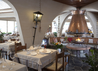
L’Escarnavé
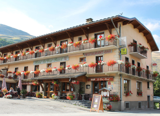
Le Crêt Rond – Restaurant

Maurienne Gravel Expérience
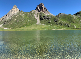
Montagne évasion randonnées
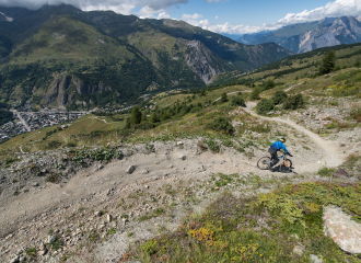
Valloire Galibier Bike Park

Valloire’s Market
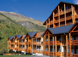
Residence Le Hameau de Valloire – Vacanceole
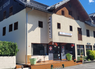
Hôtel Le Tatami


