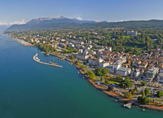
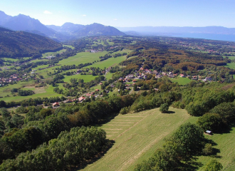
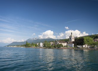
A very nice walk around the village of Maxilly sur Léman. A walk with beautiful views of Lake Geneva, but also of the Chablais massif. It is also the discovery of its still untouched pastures and chestnut forests.
Guidebook with maps/step-by-step
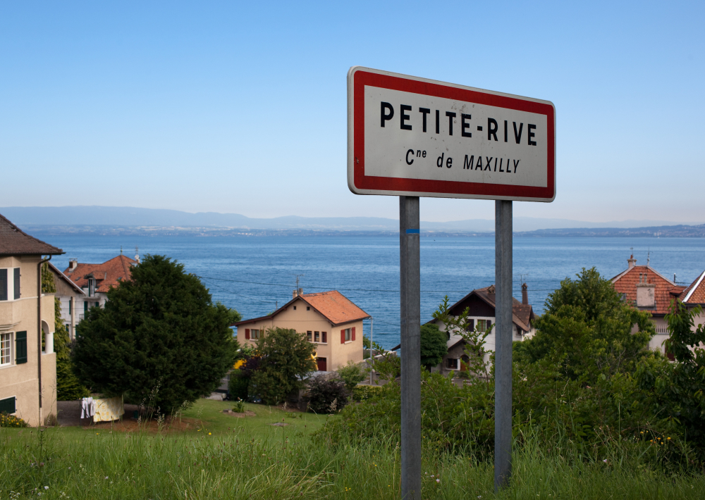
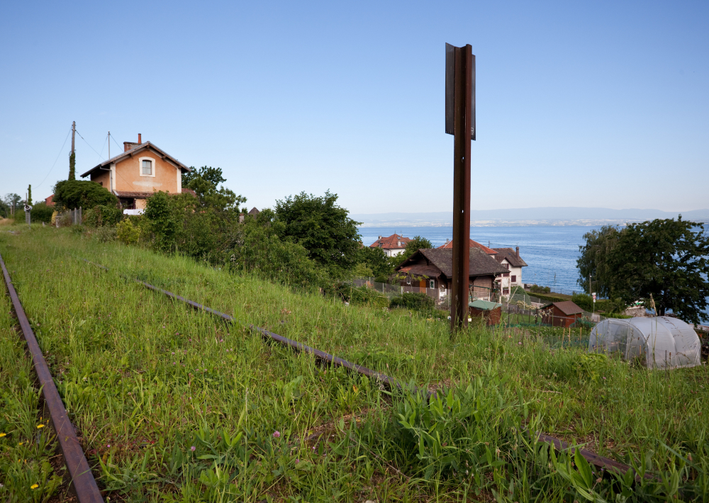
0/ Maxilly town hall parking lot. 1/ To the left of the town hall, take the path that joins and runs alongside the torrent (downstream). Join a road and follow it to the left for a few metres. When it enters the railroad underpass, take the steps up the embankment and continue along the ballast to the "Bois du Bal" park. Continue along the track which joins the small Maxilly station under the castle. Go down the "route de la Grandvin" for 100 m, then continue on the "chemin de la Louchette", turn left and pass under the railway bridge. 2/ Walk up towards the old mill to reach the "Eaux d'Evian" pumping station. Cross the iron footbridge, climb the railroad sleepers to reach the second pumping station. Follow the gravel path to the "Chemin des Sources". Cross the RD again at the mirror bridge, take the old road (chemin du vieux pont). Continue on the RD and 50 m after the "Chez Grandjux" sign, turn left into the impasse des Pommiers. The road continues through the woods to the salle des fêtes parking lot. 3/ Head for the "Coppy de Montigny" stream bridge. Turn right at "route du Chardonneté", then right at "route du bois Duret", arriving in Montigny. Turn left at "route des Hêtres", passing the campsite. 4/ At the hamlet of "Curtenay", take the "chemin de Presles". At the farm, turn left to follow a path to "Croix Moury". Enter the public park and take the footpath to the right. At its end, join "rue du Clos Marchand". Turn left at the roundabout and follow the "route de Grandvin" back to the starting point.
Ouverture
All year round. Accessible except during snow and depending on weather conditions. Please check with the Tourist Office for the latest information on access conditions.
Tarifs
Free access.
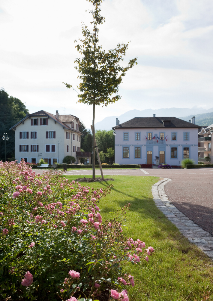
Contact et accès Parking face à la mairie de Maxilly 74500 Maxilly-sur-Léman Haute-Savoie (74)