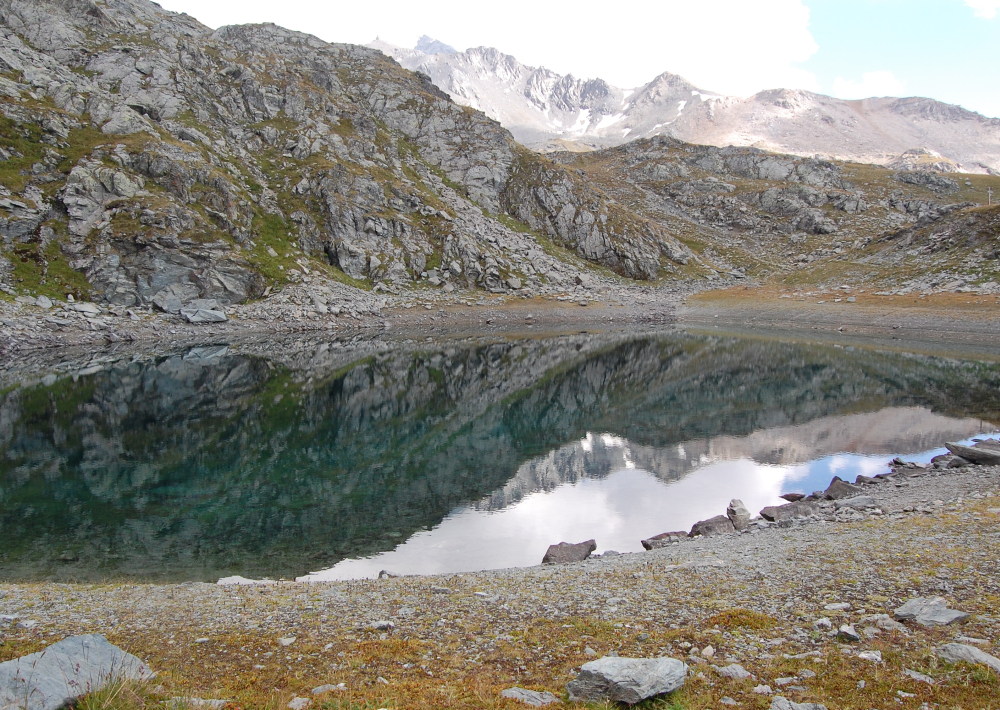
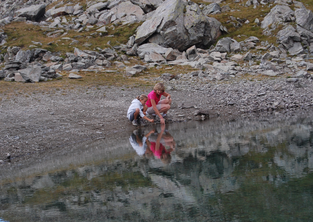
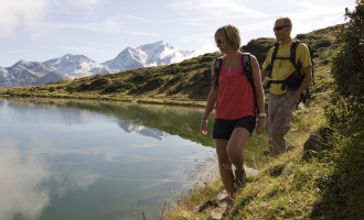
Sport

Hiking itinerary : Lac du Friolin

Les Bauches m

Description

A pretty little lake with turquoise waters, green alpine meadows dotted with flowers and multicolored butterflies, a beautiful panorama for a colorful hike.

REMINDER: our dog friends must be kept on a leash in the ski area, especially around Plan Bois and the sled dog outings.

Guidebook with maps/step-by-step

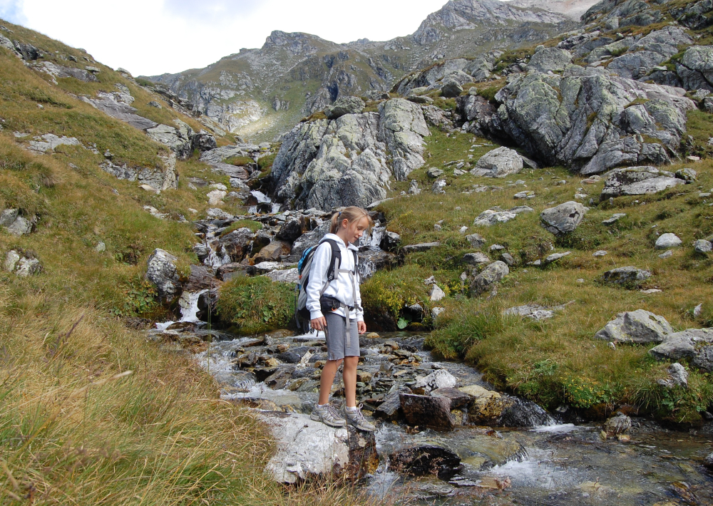
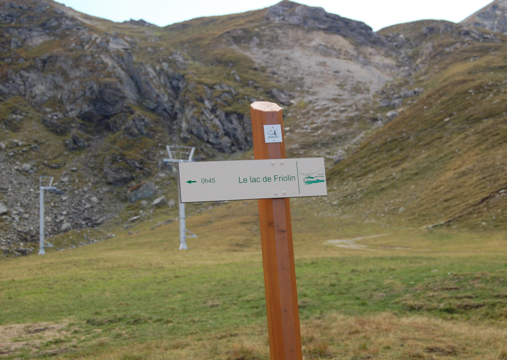
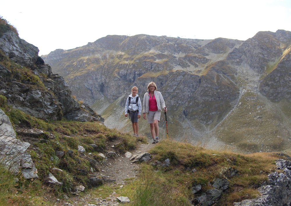
Start from Les Bauches
1 / Drive to Les Bauches along the road that carries on 6 km beyond Les Coches. At the junction at Fontaine Froide, keep following signs to "Les Bauches en voiture". Park in the parking area at Les Bauches.
2/ Follow the track for 300m (P), cross the stream and walk along the right bank, passing a few houses before coming to a vast meadow.
3/ Cross the stream again then climb the track then the path towards Le Dérochoir (typical damp rock) and carry on along the well-trodden path to the Chalet de Bellecôte (P).
4/ Leave the main track here and go off to the left, crossing the stream carefully and climbing the grassy slopes in a north-easterly direction on a good path.
5/ After several characteristic flat sections, follow the scree up to the lake located in a small hollow at the foot of a rocky ridge.
6/ To come back, walk a little way up the side of the stream that flows into the lake then come back down the fairly steep meadowland towards the Chalet de Bellecôte. Then follow Le Dérochoir trail back down.

Take special care if walking in mist, as the route becomes difficult to follow.
P = signpost

Ouverture

From 28/06 to 30/08/2025.

Tarifs

Free access.

Contact et accès
Les Bauches
Les Bauches 1770m
73210 Montchavin-les-Coches
Savoie (73)
Informations complémentaires
Animaux
  • Acceptés : REMINDER: our friends the dogs must be kept on a leash in the ski area, especially around Plan Bois and sled dog outings.
Visite
  • Durée moyenne (individuels) : 240 min
À propos de la randonnée
  • Type : Aller-retour
  • Dénivelé positif : 721 m
  • Dénivelé négatif : 721 m
  • Altitude Max. : 2491 m
  • Distance : 10 Km
  • Length : 4H
  • Niveau de difficulté : Difficle
  • Balisage : oui
  • Balisage : The trail is marked with beige signs + blue writing.

Ça peut vous intéresser

Le Carroley
Philippe Gal

Hiking itinerary : 2 Lakes Trail

Montchavin-les-Coches
Le Chalet du Friolin
Alexis Cornu

Le Chalet du Friolin

Montchavin-les-Coches
À proximité
Vue extérieur hiver
Holiday villages

Chalet la Vigogne

Peisey-Nancroix
Extérieur hiver
Office de tourisme de Peisey-Vallandry
Brasserie

Le Bistrot Savoyard

Peisey-Vallandry
Snowboard course - Evolution 2
JNJ Photo
Sporting activities

Snowboard course – Evolution 2

Montchavin-les-Coches
Photo
Infonews
Sporting activities

Night in portaledge

Peisey-Vallandry
Cuisine
Copyright free
Restaurant on the ski slopes

Le Dou du Praz restaurant

La Plagne
Intérieur du restaurant
OPGP
Restaurant on the ski slopes

L’Arpette

La Plagne
Via ferrata
Sporting activities

Discover the Bettières via ferrata

Peisey-Vallandry
Cabine Funambul de l'Aérolive
SAP
Sporting activities

Aérolive, an unusual high-altitude climb

La Plagne
Espace Live 3000
SAP
Leisure

Espace Live 3000

La Plagne
Salle à manger du restaurant le Bachal
Le Bachal
Traditional cooking

Le Bachal

Peisey-Vallandry
Le Kitz
Traditional cooking

Le Kitz

Peisey-Vallandry
Vol prestige
Sporting activities

Vol prestige

Peisey-Vallandry
Sport
Hiking itinerary : Lac du Friolin

Montchavin-les-Coches