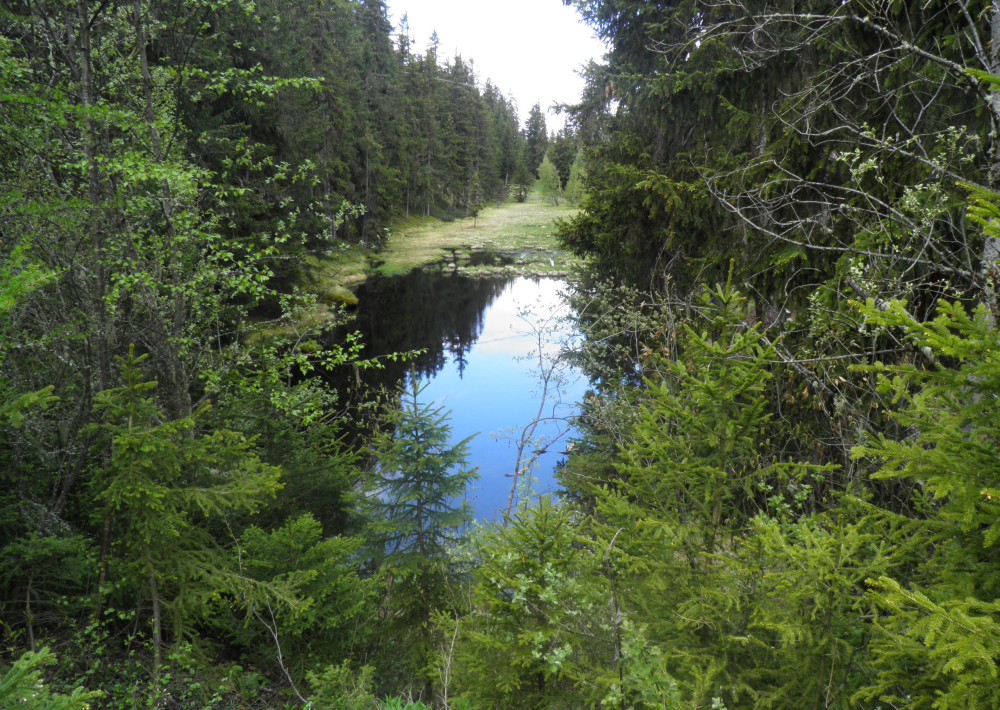
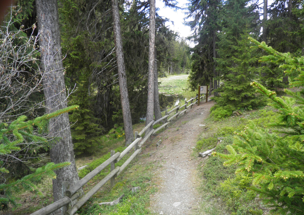
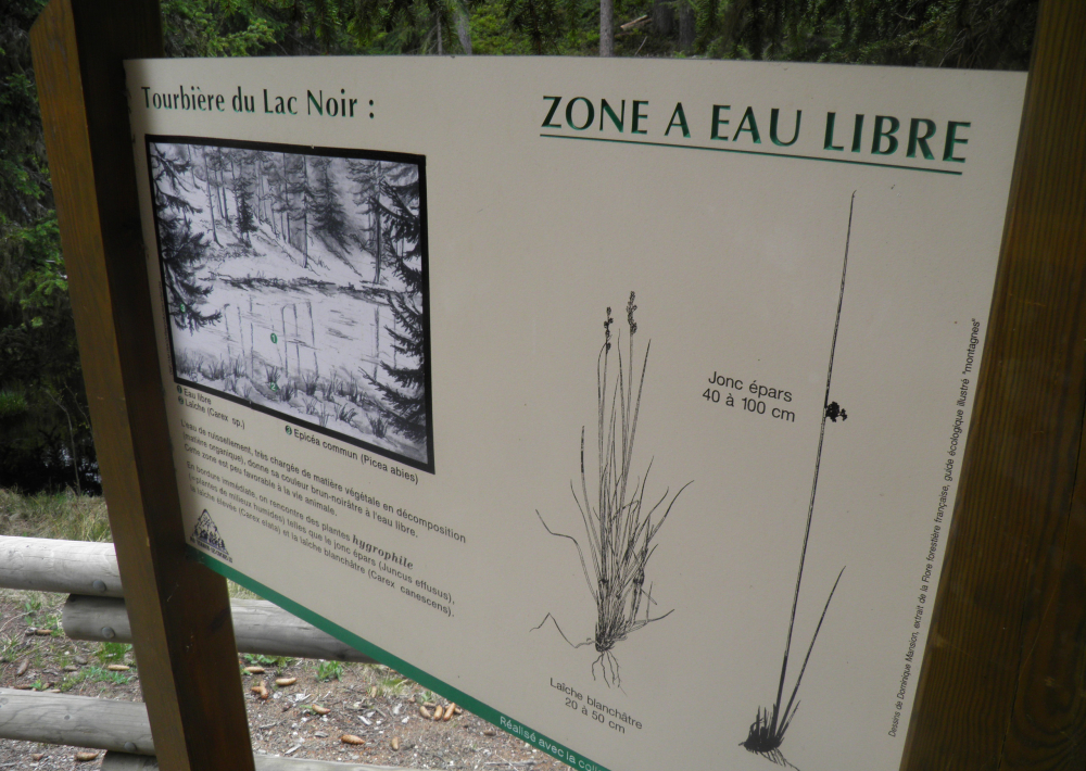
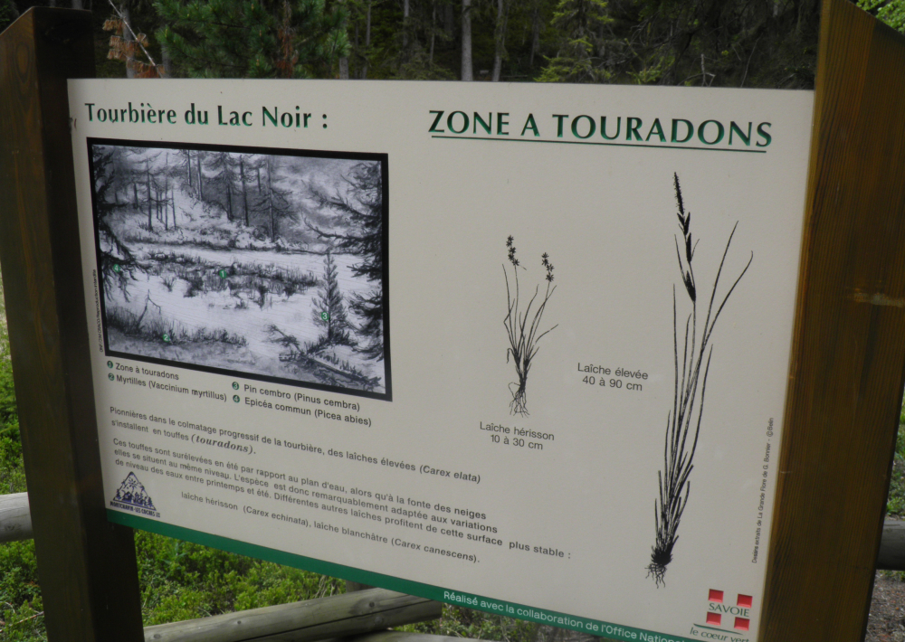
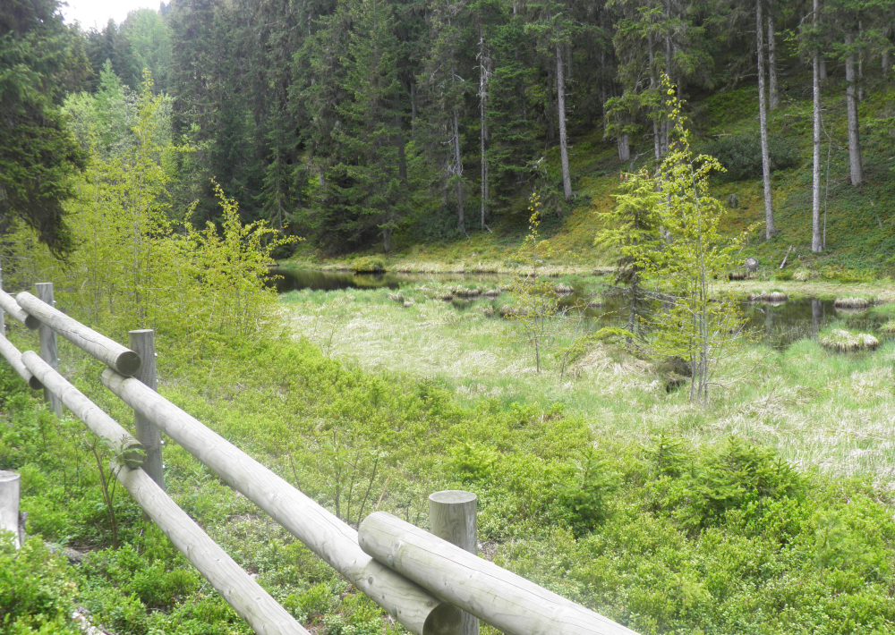
Starting from Les Coches, make your way to L'Orgère car park. The path starts in front of the Intersport store. From the car park, go off to the right (P) to the houses at Crévaillet. Carry on up the path (P), which crosses over an old canal before going up into the forest. The path then crosses over the mountain bike track (take care) and continues gradually upwards. Cross over the meadowland and carry on slightly to the right (P). After a few switchbacks, you arrive at the Lac Noir (P), which looks rather like a swamp inhabited by mosquitoes. Walk alongside the lake and then turn off to the left to join a forest track. Take this track to the left as far as the crossroads, where you turn right to the restaurant Le Poste. The path then goes off to the left, joining the chair lift and, after a short climb, reaches Plan Bois.
If you have decided to take the gondola, you can then walk back down (between 1 and 1½ hours). Turn left at the top of the chair lift (P) and follow the path that goes down to the Bijolin station. Cross over to your left to the restaurant Le Poste (P). Go down to the right on a wide track that turns left after around 200 m. The path then leaves the forest track (P) and goes down to the right, soon coming out at the Lac Noir. Walk along the right-hand side of the lake, before following the path down and crossing the small road (P). A good path goes down through the forest and then goes off to the left, before crossing over the mountain bike track (take care). After crossing an old canal, the path reaches the houses at Crévaillet. Take the small road that leads to the car park (P) and then the path to the centre of Les Coches.
Ouverture
From 29/06 to 31/08/2024.
Tarifs
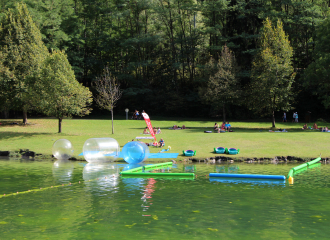
Free access.
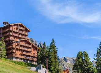
Contact et accès L'Orgère Les Coches 73210 Montchavin-les-Coches Savoie (73)