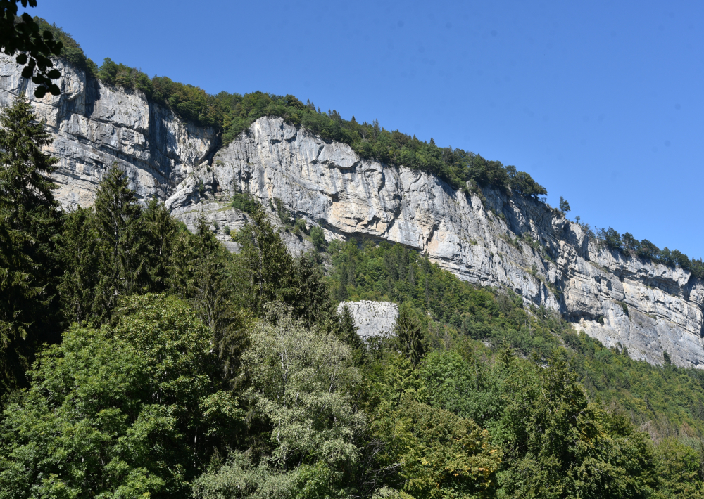
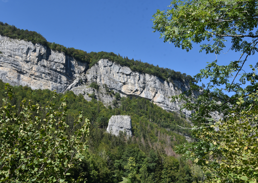
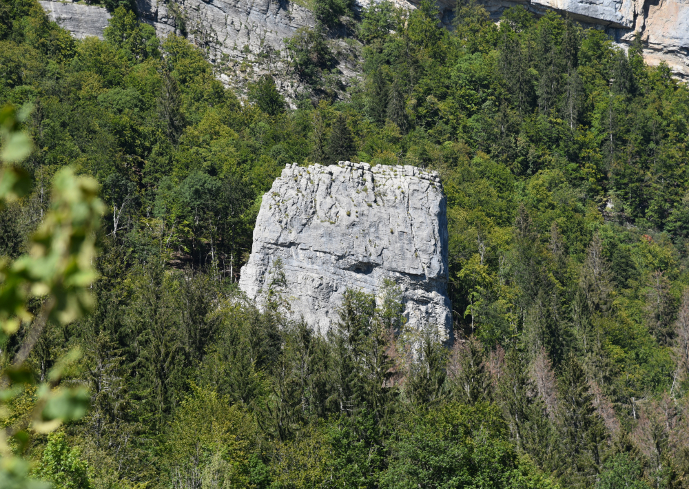
for climbers : between 25 and 50 routes, from 4c to 7b Max height: 45 m max. Rock: limestone, Profile: vertical. Type of holds: crimps, flat. Short routes on crimps on the north face. Long tracks on the south face with a lot of flat areas with little grip at the bottom and a very grippy, sculpted rock at the top. Dries fairly quickly.
Go hiking safely!
Walking time is approximate and does not take into account break times.
The topo/step-by-step description guides you generally but does not replace a 1/25,000 hiking map or other topoguides available in our tourist office!
In Sallanches, our Office of Guides & Leaders also offers a wide choice of outings accompanied by mountain professionals providing you with complete expertise on the environment and alpine nature, inquire at the tourist office to register.
Whatever your hike, check the weather before you go. Remember to take cereal bars, sufficient water, sunglasses, sunscreen, a cap or hat, a small first aid kit, as well as clothing suitable for your outing in your backpack. depending on the season and the forecast weather.
Guidebook with maps/step-by-step
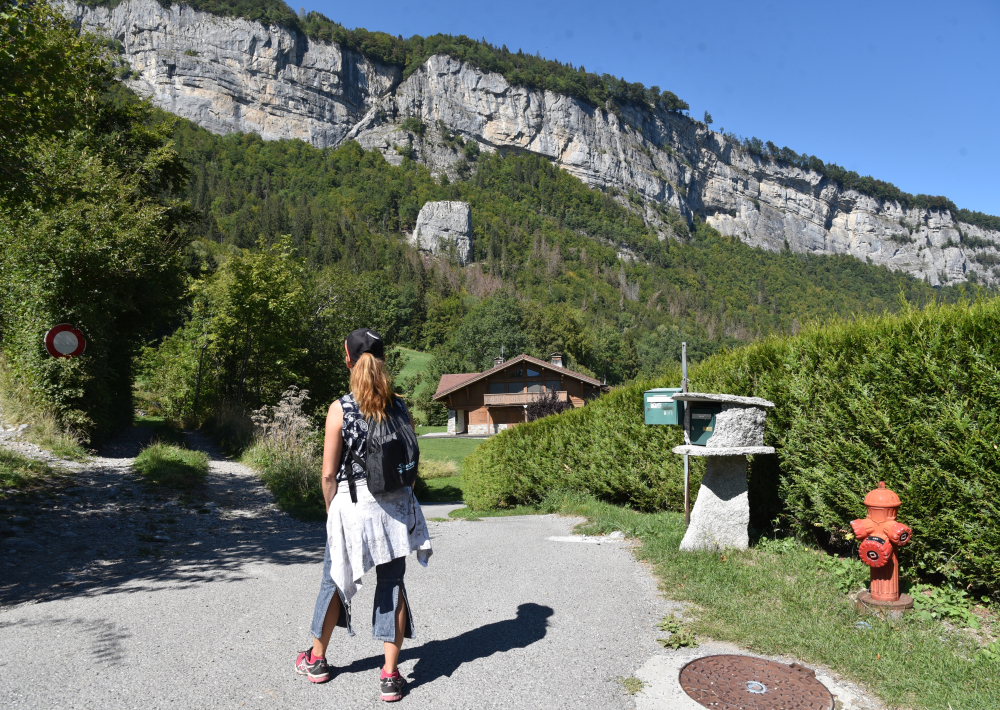
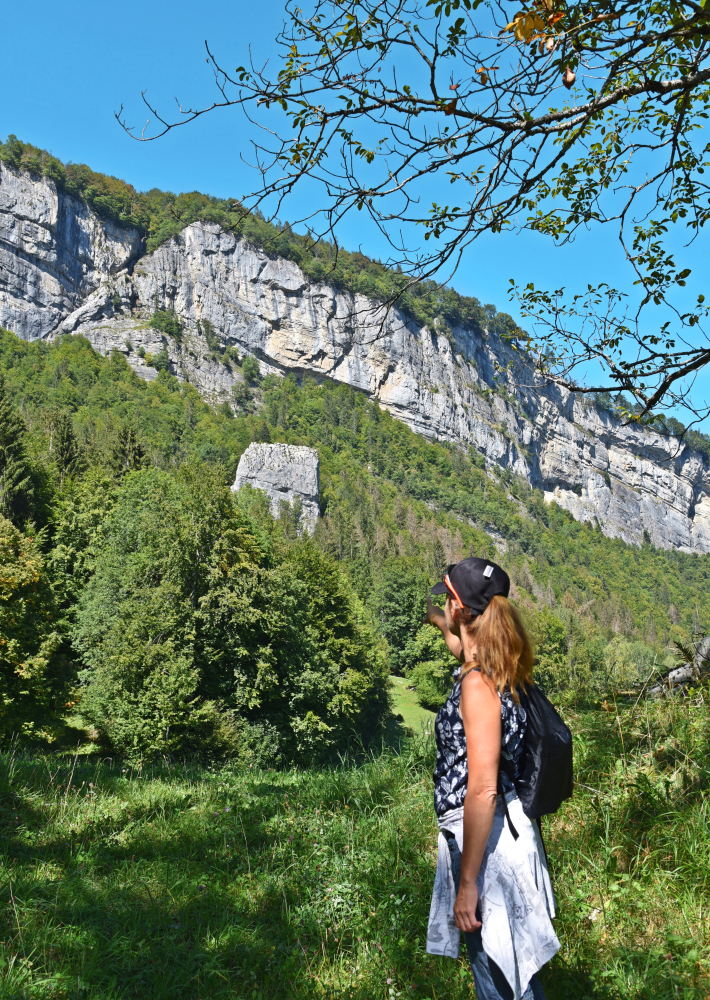
Departure: Plan Chevalier car park 1. from the car park you can either follow the road or take the Gypaète forest path which will join the road a little further on. 2. continue on the road which leads to the village of Outredière (889 m). 3. In the village, follow the sign indicating Doran via the Gypaète trail. 4. Just before taking the path on the left, admire the view of the Voice Stone in the distance. 5. Follow the path to the left with the small signs. 6. You will come to a junction, at a place called "Les Pendants", where you will have to leave the Lammergeier path to follow the Pierre à Voix path which is now 10 minutes away. 7. You reach your goal at the foot of this famous limestone monolith, which can be climbed on its south-eastern face or climbed from the back by rock climbing.
Ouverture
All year round.
Subject to favorable snow and weather conditions.
Tarifs
Free access.
Contact et accès départ : parking de Plan Chevalier route d'Outredière 74700 Sallanches Haute-Savoie (74)