Sport

"La Haute Pointe" Hike

La Chèvrerie

Description

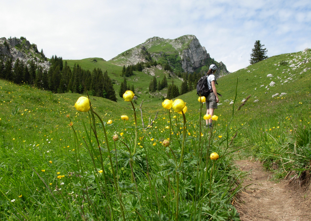
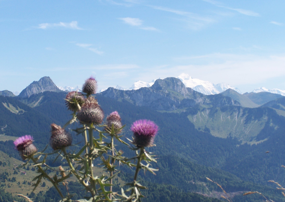
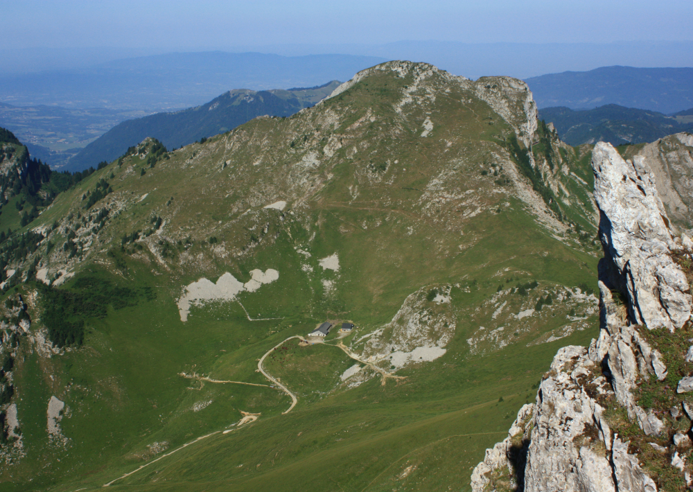
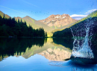
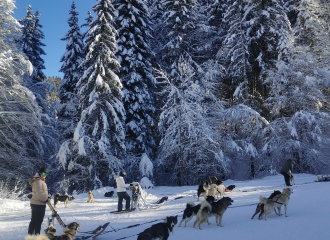
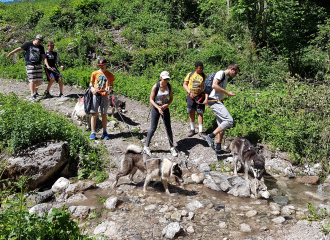
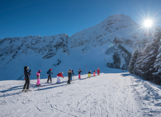
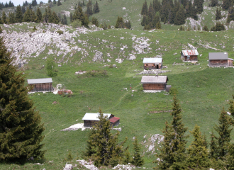
Nature and Heritage: the Alpine marmot comes from the same family as squirrels: the sciuridae. It lives at an altitude of between 1000m and 3000m in sun-soaked mountain pastures amongst the stones and scree. It mainly eats plants and drinks dew and water from plants. Listen out for its shrill cry to give the alarm when you’re approaching.
Route details: Soon after the Plan des Rasses (Alt. 1250), turn left to Chavan. A straight path takes you up to the forest, you go over a stream then continue through the clearing to Chavan chalet. Views of: Pointe de Chalune, Pointe de Chavasse and Haute-Pointe. From the chalet head towards Haute Pointe (sign) along a trail through the pastures which will lead you to a little watering hole. Follow the steep path slightly to your left up to Col de Chavan (alt. 1757m). Beneath you: Sommand. Opposite: Mont Blanc and the Aravis range. Then take the path on the right along the ridge to reach the summit of Haute Pointe.
Go back down the same route to Col de Chavan. Just before, go along the path on your left (not too sloped at the beginning) to the Combe de Chavannais then Col de Chavannais.
Go back down towards Charmettes chalets (steep slope). Before you reach the chalets, take a path on your right (barrier) to the foot of the stunning cliffs (Roc de la Tournette) then continue to Col des Follys. Go back to your starting point along the path opposite you and it will lead to Plan des Rasses in the Combe d'Herlionnaz.

Ouverture

From 01/01 to 31/12.

Subject to favorable weather.

Tarifs

Free of charge.

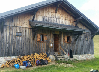
Contact et accès
Parking du pont de la Joux / Remontées mécaniques
La Chèvrerie
74470 Bellevaux
Haute-Savoie (74)
Informations complémentaires
Services
  • Motorhomes allowed
  • Accommodation
  • Restaurant
Équipements
  • Car park
  • Public WC
  • Picnic area
Animaux
  • Animaux interdits
À propos de la randonnée
  • Type : Aller-retour
  • Dénivelé positif : 850 m
  • Dénivelé négatif : 850 m
  • Altitude Max. : 1958 m
  • Distance : 13.6 Km
  • Length : 6H
  • Niveau de difficulté : Difficle
  • Balisage : oui
  • Passages délicats : Passage étroit avant le col de Chavannais (sur la variante de retour) avec une main courante.

Ça peut vous intéresser

refuge_de_chavan_bellevaux
claudius_felisaz

Refuge de Chavan

Bellevaux
À proximité
Chalets de La Chèvrerie avec vue sur le Roc d'Enfer
Gilles PLACE/ OT ADL
1 Cross-country skiing

Bellevaux – Roc d’Enfer

Bellevaux
refuge_tre_le_saix
refuge_tre_le_saix
Refuge

Mountain cottage Trè-le-Saix

Bellevaux
Les Escarpés
Yvan Tisseyre/CCHC

Snail Farm “Les Escarpés”

Bellevaux
Refuge de Graydon
Yvan Tisseyre/OT Vallée d'Aulps
Refuge

Graydon refuge

Saint-Jean-d'Aulps
lac de vallon été
OTADL
Mountain lake

Lake Vallon

Bellevaux
Préparation des attelages
Sporting activities

Sled dogs

Bellevaux
Sporting activities

alpin ski-snowboard group lessons La Chèvrerie

Bellevaux
Télésiège du Torchon
OT Alpes du Léman - VS
Leisure

Télésiège du Torchon

Bellevaux
Canirando
Traineaux passion - Parc Nordique
Sporting activities

Winter doghiking

Bellevaux
Childrens ski lesson at the top of Graydon combe
Yvan Tisseyre/OT Vallée d'Aulps
Downhill skiing

Roc d’Enfer Area

Bellevaux
Les Ruchers de Nade
Yvan Tisseyre/CCHC

The Nade Apiaries

Bellevaux
Alpage de Nifflon et ses chalets
JL Meynet
Sporting activities

Quand l’alpage a soif, les bergers ont du génie

Bellevaux
Sport
"La Haute Pointe" Hike

Bellevaux