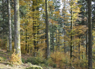
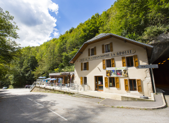
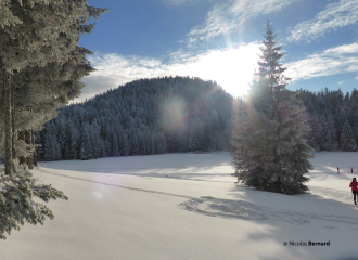
On the leisure center, follow the itinerary to the Grotte of St Christophe and the signs of the Voie Royale for about 2 kilometers (GR9). (Be careful itinerary on the road). At the bridge St Martin, follow La Voie Sarde (yellow signs). Take a wide rocky path, pass in front of the “glacière” and climb up the rocky stairs. Admire the monument Charles-Emmanuel II, Duck of Savoy! (2) Further, you reach the beginning of the Beauvoir ‘s track on your left (yellow signs). An iron ladder makes the path easier to reach. Iron steps and cables are there to help you during the steep passages. Keep walking on a limestone plateau (careful where you put your feet). Keep going through the forest of La Combe Noire towards Les Riondets. You pass by signs indicating La Foret/ La Carrière/ la Falaise. You can observe numerous dead trees, it is the work of the Black woodpecker, if you are lucky, you may hear it! (3) Still following the yellow signs, keep going up on a steep path to Pré Pollet, the highest point of this hike at 990 meters high. After this ascent, keep following the path to Les Riondets by a nice way down through the mistletoe. After crossing the stream of La Pisserotte, you reach a place with pretty views over the valley and the peaks of Chartreuse. Behind you, you can see the Mont Beauvoir. Follow “Maison Peylins” (yellow signs). To go there, go down the road for about 300 m before turning right to meet “Maison Peylins”. (4) Now follow Les Échelles and the GR9 signs, white and red. This way down to Les Échelles alternates roads, forests and meadows (remind to close the fence behind you). You pass by L’Ecolu, le Menuet and le Col de la Voute. Once in Les Échelles, take the direction of the leisure center Rivièr’Alp to come back to the carpark.
Ouverture
From 01/05 to 30/11.
Subject to favorable weather.
Tarifs
Free of charge.
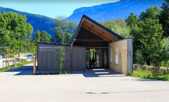
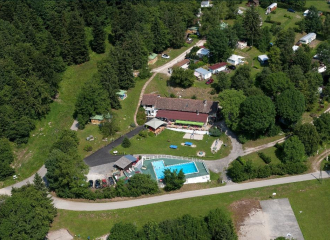
Contact et accès Rivier'Alp, place de la Corderie 73360 Les Échelles Savoie (73)
Balisage : Departure Signs are in place in the villages near the car parks and the places open to the public. To follow your itinerary, poles are in place at the junctions and identifiable by a sign with the name of the walk and the altitude. Between two poles, you will find marked sign made with painting all along the way, it indicates if you must follow the path or not. Pay also attention to small signs to guide you.
We recommend to have the map Promenades et randonnées en Chartreuse" with you