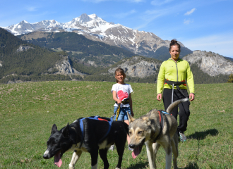
Your security: - Keep in mind that you are riding in mountain areas with sometimes technical trails, significant elevation where weather conditions can change quickly. - Don't overestimate your abilities - Check the local weather forecast before leaving / www.meteofrance.com / tel: 3250 - Anticipate and adapt your clothing according to the sectors traveled and provide a survival blanket, windbreaker and whistle. - If you are going alone, leave information about your itinerary with those around you and make sure you have a charged mobile phone. - Always provide a reserve of water. - Stay on the marked paths. - Be careful of electric fences. - During hunting season (September to January) and near big game hunts, show your presence. - Help: in case of emergency contact 112
Your environment: - Respect private property. - Do not light a fire. - Keep your waste and bring it back. - Respect fruit production and do not cross cultivated fields. - Do not frighten the cattle. - Close the park barriers after your visit. - Respect the direction of the routes. - Be careful and courteous when overtaking and crossing hikers.
Guidebook with maps/step-by-step
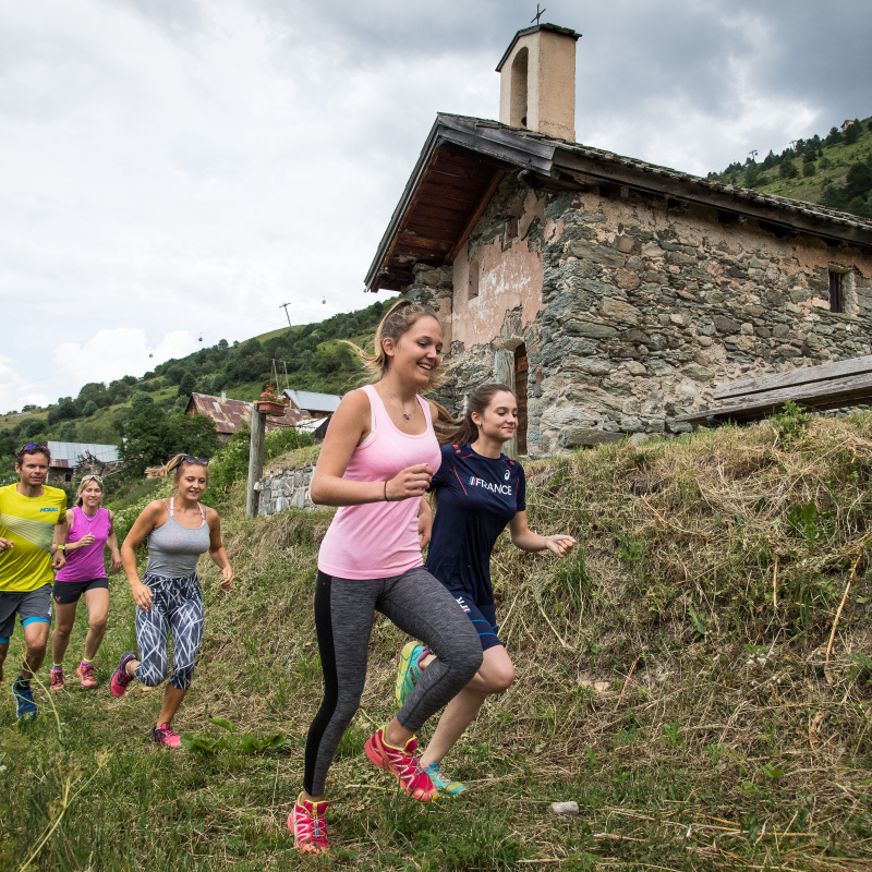
Departure - From the tourist office, walk past Place de la Mairie up Rue de la Sétaz. 1 - Cross the Ponté bridge and take the path up towards Archaz. 2 - Continue upwards past the hamlet of Archaz. 3 - At the junction of three paths, fork left to reach the Geneuil chapel, point rogerueil. 4 - At Geneuil, you'll pass a drinking-water fountain where you can quench your thirst. 5 - Continue up the path, past the Edelweiss restaurant, then follow the signs for Chapelle des Trois Croix (through the national forest). 6 - Once you've reached the chapel, turn left towards the hamlet of Col. 7 - You'll pass through the hamlets of Les Granges and Les Choseaux-Ville before returning to the Valloire Tourist Office. Variant possible up to the Telegraph Fort.
Ouverture
From 20/04 to 01/11.
Subject to favorable snow and weather conditions.
Tarifs
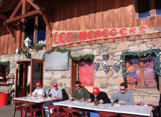
Free access.
Contact et accès Office de Tourisme 73450 Valloire Savoie (73)