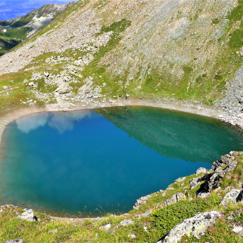
From Les Bauches (1,770 m). Take the small road in the direction of Pramain (or Pramain). Go up the valley to the start of a chairlift (2 286 m). Here you leave the axis of the valley to go left on the path to Lac de Friolin (2,491 m). From here the path gets a little lost. Join the ridge upstream by heading south to the point at 2,739 m. Be careful: the ridge is extremely loose. Constantly falling down. Do not approach the edge. We return due north to the summit of the Pointe de Friolin (2,678 m). From there we reach the Croix Bozon (2,250 m) as best we can in the boulders. We descend to the left of the Croix to reach the Bauches.
Difficulties: difficult, long, climbing sections, a path not always marked out, no water, flocks of sheep, areas of rockfall: the Pointe de Friolin must be earned! But the lake is so unexpected and the view so beautiful that it is well worth it.
Guidebook with maps/step-by-step
From Les Bauches (1,770 m). Take the small road in the direction of Pramain (or Pramain). Go up the valley to the start of a chairlift (2 286 m). Here you leave the axis of the valley to go left on the path to Lac de Friolin (2,491 m). From here the path gets a little lost. Join the ridge upstream by heading south to the point at 2,739 m. Be careful: the ridge is extremely loose. Constantly falling down. Do not approach the edge. We return due north to the summit of the Pointe de Friolin (2,678 m). From there we reach the Croix Bozon (2,250 m) as best we can in the boulders. We descend to the left of the Croix to reach the Bauches.
Difficulties: difficult, long, climbing sections, a path not always marked out, no water, flocks of sheep, areas of rockfall: the Pointe de Friolin must be earned! But the lake is so unexpected and the view so beautiful that it is well worth it.
Ouverture
All year round.
Tarifs
Free of charge.
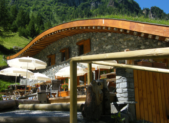
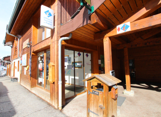
Contact et accès Le Chalet 73210 Peisey-Vallandry Savoie (73)