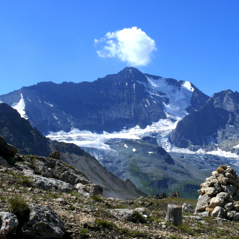
First day: climb to the Col du Palet hut (2,600 m) on the GR5. Lakes of La Plagne (2 144 m) and Gratalu (2 530 m). Count on 4 hours of walking. Second day: just upstream from the refuge towards the south, pass the Col de la Croix des Frêtes (2,647 m) and descend into the mountain pastures to the small Lac du Grand Plan (2,500 m). Leave the path and head north-west on the flat part until you cross the path coming from Champagny at the foot of the Aiguille Noire and climb to the Col de la Grassaz (2637m). We go back down through the Aimes valley (Lac Verdet, 2 520 m). On the way back down we walk a few hundred metres on the GR5 and turn left to spend the second night at the Entre-le-lac refuge. Descend to Rosuel passing on the other side of the Torrent (right bank). Plan de la Plagne (2091 m), Le Varchey, la Cascade, La Guraz). Difficulty: a portion of unmarked path. Do not attempt it in foggy weather.
Guidebook with maps/step-by-step
First day: climb to the Col du Palet hut (2,600 m) on the GR5. Lakes of La Plagne (2 144 m) and Gratalu (2 530 m). Count on 4 hours of walking. Second day: just upstream from the refuge towards the south, pass the Col de la Croix des Frêtes (2,647 m) and descend into the mountain pastures to the small Lac du Grand Plan (2,500 m). Leave the path and head north-west on the flat part until you cross the path coming from Champagny at the foot of the Aiguille Noire and climb to the Col de la Grassaz (2637m). We go back down through the Aimes valley (Lac Verdet, 2 520 m). On the way back down we walk a few hundred metres on the GR5 and turn left to spend the second night at the Entre-le-lac refuge. Descend to Rosuel passing on the other side of the Torrent (right bank). Plan de la Plagne (2091 m), Le Varchey, la Cascade, La Guraz). Difficulty: a portion of unmarked path. Do not attempt it in foggy weather.
Ouverture
All year round.
Tarifs
Free of charge.
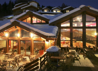
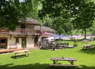
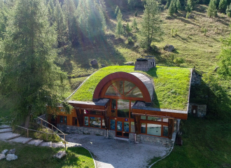
Contact et accès Le Chalet 73210 Peisey-Vallandry Savoie (73)