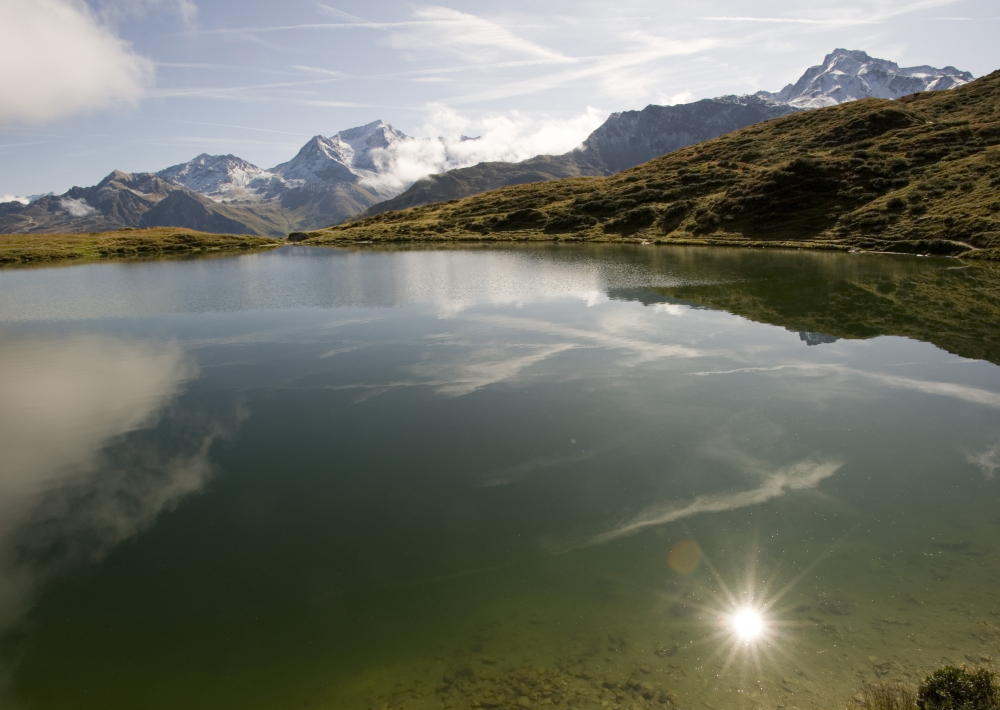
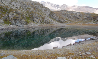
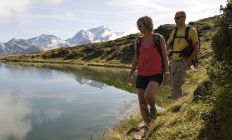
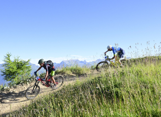
Sport

Hiking itinerary : Lac du Carroley

Les Bauches m

Description

Les Bauches, a magnificent valley known as the secret valley of Montchavin-Les Coches, where the Pramain stream marks the start of the hike before arriving at the valley floor, with lush green spaces all along the hike that takes you to the Lac du Carroley. You'll also come across herds of cows and sheep in the mountain pastures.
Lac du Carroley is a magnificent mountain lake where you can observe fish, tadpoles and frogs.

REMINDER: our dog friends must be kept on a leash in the ski area, especially around Plan Bois and the sled dog outings.

Guidebook with maps/step-by-step

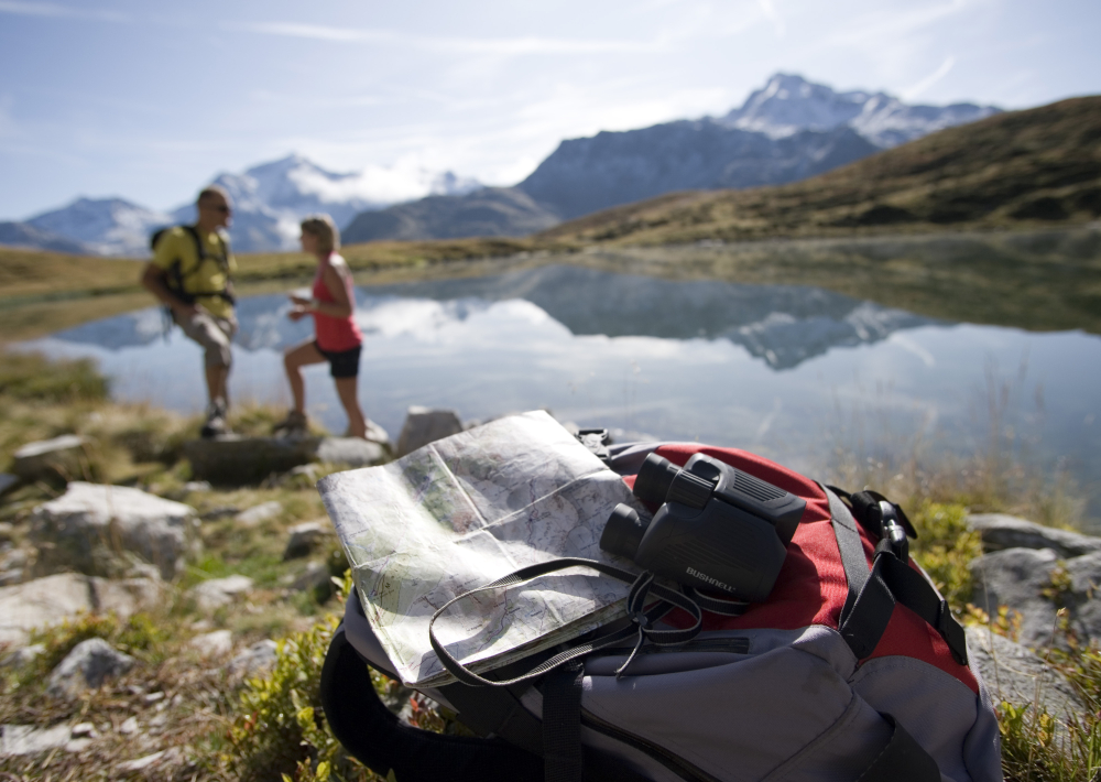
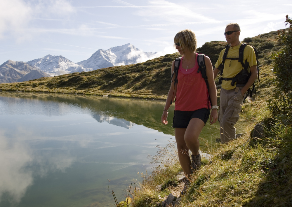
Start from: valley of Les Bauches
1/ Drive along the Les Coches road? At Fontaine Froide (junction), keep following the signs for "Les Bauches en voiture" until the end of the road (Les Bauches car park).
2/ Follow the asphalt road past the Auberge du Friolin and then the track that climbs up to the right of Pramain stream.
3/ After crossing the stream (ford), carry on up the switchbacks to Le Dérochoir (wet rocks).
4/ Once there, follow a path to the right which levels out and crosses varied terrain before reaching the Chalet du Carroley. After climbing though a few meadows, you reach the lake.
5/ After a good picnic, walk back down to the chalet and then down to the car park on the narrow road.

The trail is marked with beige signs + blue writing

Ouverture

From 28/06 to 30/08/2025.

Tarifs

Free access.

Contact et accès
Les Bauches
Les Bauches 1770m
73210 Montchavin-les-Coches
Savoie (73)
Informations complémentaires
Animaux
  • Acceptés : Dogs are allowed, but beware of herds of cows and sheep in alpine pastures. REMINDER: our dog friends must be kept on a leash in the ski area, especially around Plan Bois and the sled dog outings.
Visite
  • Durée moyenne (individuels) : 240 min
À propos de la randonnée
  • Type : Boucle
  • Dénivelé positif : 416 m
  • Dénivelé négatif : 416 m
  • Altitude Max. : 2186 m
  • Distance : 6 Km
  • Length : 4H
  • Niveau de difficulté : Moderé
  • Balisage : oui
  • Balisage : The trail is marked with beige signs + blue writing.
  • Passages délicats : Watch out for the creek crossing, which can be substantial depending on snowmelt and rainfall.

Ça peut vous intéresser

Hiking itinerary : Lac du Friolin
Jean Gotteland

Hiking itinerary : Lac du Friolin

Montchavin-les-Coches
Le Carroley
Philippe Gal

Hiking itinerary : 2 Lakes Trail

Montchavin-les-Coches
Le Chalet du Friolin
Alexis Cornu

Le Chalet du Friolin

Montchavin-les-Coches
Departure point
Amandine Elie

Hiking itinerary : Mont Saint Jacques

Montchavin-les-Coches
À proximité
Point information Les Coches
OT Grande Plagne
Tourism institutions

Les Coches information point

Montchavin-les-Coches
Cours privés avec ELPRO
ELPRO
Service providers

ELPRO Ski and Snowboard School, Belle Plagne

La Plagne
Inn
Alexis Cornu
Hotel

Inn “Le Chalet du Friolin”

Montchavin-les-Coches
Palais de la mine
Thomas Bodier
Cultural

Sentier muséographique du palais de la mine (hiver)

Peisey-Vallandry
Exterior in summer
Madame Vacances
Furnished accommodation and Gîtes

Madame Vacances – Les Chalets des Alpages

La Plagne
Skiset L'Orée Des Cimes
Shops

Skiset L’Orée Des Cimes

Peisey-Vallandry
Parapente en été avec ELPRO
ELPRO
Sporting activities

Paragliding – Elpro

La Plagne
Vue aérienne de nuit
Libre de droit
Tourist residence

Bellecôte Hotel Residence

Montchavin-les-Coches
Public toilets - Montchavin
OTMLC
Services

Public toilets – Montchavin

Montchavin-les-Coches
Le Poste
Le Poste
Restaurant on the ski slopes

Le Poste

Montchavin-les-Coches
Cours Ski ESF
Elliot Gieu
Service providers

French Ski School in Vallandry

Peisey-Vallandry
Sunny terrace
Little Mo
Crêperie

Little Mo

La Plagne
Sport
Hiking itinerary : Lac du Carroley

Montchavin-les-Coches