


Sport
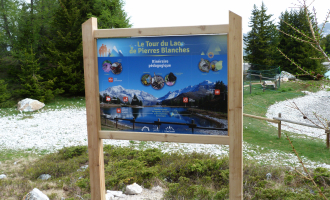
Hiking itinerary : Lac des Pierres Blanches via l'Esselet
Les Bauches m


Description
Les Bauches 1770m
73210 Montchavin-les-Coches
Savoie (73)
Informations complémentaires

Philippe Gal

OTMLP
Alexis Cornu
Jean Gotteland
Jean Gotteland
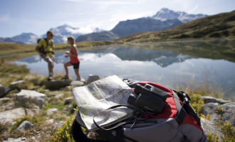
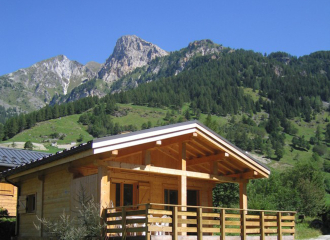
A lovely hike through the larch, spruce and Swiss stone pine forest. The trail follows an old canal to a pond where the forest opens up to offer beautiful views over Peisey valley and Notre Dame des Vernettes chapel in the distance. During the hike, you may hear the sound of cowbells as you walk towards Lac des Pierres Blanches where you can admire the superb views while you enjoy a picnic on the tables by the lake.
Guidebook with maps/step-by-stepStarting from Les Bauches
1/ Drive to Les Bauches on the road that carries on 6km beyond Les Coches.
2/ At Fontaine Froide (junction) keep following signs to Les Bauches.
3/ Park in the parking area opposite the bridge. From there, walk back along the road and follow a small canal to Esselet pond (P).
4/ Turn left up the path (sign to Esselet) through the forest to a small plateau (P).
5/ Cross the plateau and carry on along the path which comes out onto a forest track (P).
6/ Take it to the left and then after 200 m, take the path off to the right (P). The forest gradually becomes a sort of massive garden filled with spruce, larch and Swiss stone pine trees. The path then comes to a plateau that is almost like a clearing (P).
7/ Turn off to the left, walk right across the plateau (about 350 m)
8/ Climb slightly to the right, coming out in a large meadow (P).
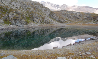
9/ Climb up the grassy slope (stony path) to the small road (P) and then on to the chalet that you will see. Go round to the right of the chalet and you will find the Lac des Pierres Blanches.
P = signpost on the route
You can either follow the same route back down, or take the small asphalt road that leads back down to the car park (1 hour).
From 29/06 to 31/08/2024.
TarifsFree of charge.
Contact et accès Les BauchesLes Bauches 1770m
73210 Montchavin-les-Coches
Savoie (73)
Informations complémentaires
Ça peut vous intéresser
Hiking itinerary : Lac du Carroley
Montchavin-les-Coches
Hiking itinerary : Le Bief
Montchavin-les-Coches
Le Chalet du Friolin
Montchavin-les-Coches
Hiking itinerary : Lac du Friolin
Montchavin-les-Coches
Hiking itinerary : Tour du Lac des Pierres Blanches
Montchavin-les-Coches
À proximité
OT Grande Plagne
Joël Martin
Jeff Saussol
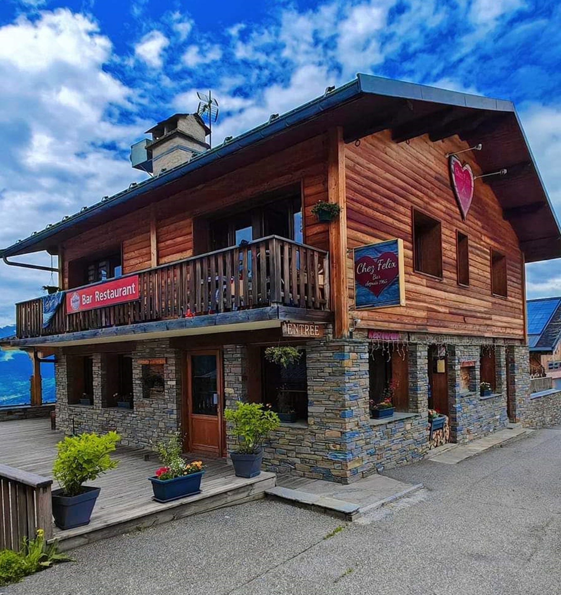
Chez félix
Amandine Elie
OTGP
OT Grande Plagne
camping les Lanchettes
OPGP
OT Peisey-Vallandry
Madame Vacances

Brasserie
La Face Nord restaurant
La Plagne

Sporting activities
One-day hike with a donkey
Peisey-Nancroix
Brasserie
Restaurant La Taverne du Monchu
Montchavin-les-Coches
Crêperie
Chez Félix Plan Peisey
Peisey-Vallandry
Sporting activities
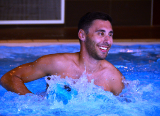
Aquaforme
Montchavin-les-Coches

Cultural
Life in the high-mountain pastures
Montchavin-les-Coches

Brasserie
L’Annexe
La Plagne
All inclusive
Ski alpin à Belle Plagne
La Plagne
Campsite
Camping les Lanchettes
Peisey-Vallandry
Sporting activities
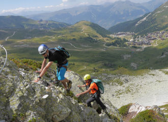
Guided Via Ferrata
La Plagne

Cross-country skiing
Nordic area Peisey-Vallandry
Peisey-Vallandry
Tourist residence
Madame Vacances – Les Lodges des Alpages
La Plagne
